The alluvial basin beneath Henderson Nevada stores thick sequences of sand and gravel that shift in stiffness across short distances. South of Lake Mead Parkway, groundwater sits within 6 meters of the surface, raising the chance of cyclic softening during a moderate earthquake. We map those variations through shear wave velocity profiles and MASW lines, correlating each zone with ASCE 7 site class. This city sits in a region where the Basin and Range extension creates shallow bedrock west of the 215 beltway, while the eastern half is dominated by unconsolidated fill. Before selecting a foundation type, we recommend pairing seismic microzonation with a resistivity survey to map lateral changes in the saturated zone.
Soil stiffness in Henderson Nevada varies by a factor of three within two kilometers, making site-specific microzonation essential for code-compliant foundation design.
Scope of work in Henderson Nevada
Demonstration video
Critical ground factors in Henderson Nevada
The most common mistake we see in Henderson Nevada is using a single borehole to classify an entire subdivision lot. Builders assume the alluvium is uniform, but paleochannels filled with loose sand create local soft spots that amplify ground motion by 30% compared to adjacent stiff ground. That amplification is not captured by a generic site class assigned from a regional map. When the foundation sits partly on a paleochannel, differential settlement and higher spectral acceleration occur. We use seismic microzonation to flag those anomalies before the footing layout is finalized, saving concrete costs and avoiding post-construction retrofit.
Our services
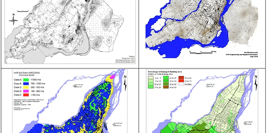
Our seismic microzonation combines field geophysics, laboratory calibration, and zoning maps that integrate directly with structural design.
MASW Profiling for VS30
Multichannel analysis of surface waves along 70 m linear arrays, processed for 1D shear wave velocity profiles to 30 m depth. Results classify each site per ASCE 7 with a confidence interval based on inversion misfit.
Liquefaction Hazard Mapping
Using the NCEER 2001 simplified procedure with SPT N-values and VS30, we compute factor of safety against liquefaction at 1 m intervals. Output includes a probability map for the parcel and recommended ground improvement depth.
Frequently asked questions
What is the difference between a seismic hazard map and seismic microzonation?
A seismic hazard map shows probabilistic ground motion at regional scale. Seismic microzonation refines that to parcel scale by measuring local soil stiffness, groundwater, and basin effects. In Henderson Nevada, this means adjusting the IBC site class from a generic C to a measured D or B based on actual shear wave velocities.
How much does seismic microzonation cost for a residential subdivision in Henderson Nevada?
The typical range for a 10-acre parcel in Henderson Nevada is between US$3.870 and US$17.080, depending on the number of MASW profiles, boreholes, and laboratory tests. A full raster map covering multiple lots costs more than a single-point VS30 determination.
Which soil types in Henderson Nevada are most prone to amplification?
Loose, unsaturated sands with N-values below 10 and groundwater within 6 meters amplify PGA by up to 40% compared to dense alluvium. These zones often coincide with paleochannels mapped beneath the central basin near the Las Vegas Wash. Microzonation identifies them before grading.
Can microzonation be done on an existing developed site?
Yes. We deploy MASW or downhole seismic testing in landscaping strips or along perimeter roads. For developed parcels, we adjust the geophone spacing to avoid utilities and pavement. The result is a site class update that supports seismic retrofit design.